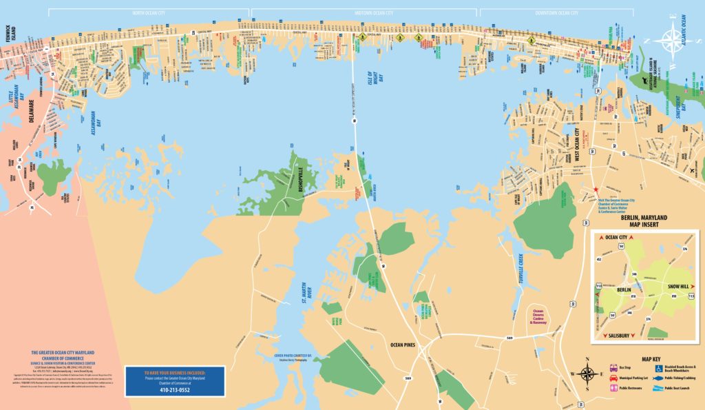
Local Maps
This map is derived from scans of Maryland Department of Transportation Maps. You may order their state maps online at: Roads.Maryland.Gov.
Click on the map options below to view image.
- Full Map
- West Ocean City
- Inlet to 22nd Street
- 22nd Street to 55th Street
- 52nd Street to 83rd Street
- 83rd Street to 122nd Street
- 122nd Street to Delaware Line
Broad scale overview maps
- Atlantic Seaboard Regional Map
- Coastal Maryland and Delaware Region
- DC to Ocean City
- Maryland Coastal
- Ocean City to Assateague
Greater detail, subdivision and community names shown
Greatest detail, street names shown

